Rhine Cycle Route - Navigation
Been a bit undecided how to approach this aspect of the trip, not been able to decide whether to just take a map of Europe, head for Arnhem, find The Rhine and then try to follow it, or something a bit more more detailed!
Been in touch with a few folks and as usual I'm now planning to overcomplicate things, but I hope it will pay off. I've ordered a couple of the Esterbauer Rhine Cycle Route guides, the whole route is covered in three guides but we aren't riding the section in Switzerland, we plan to leave that for some other time.
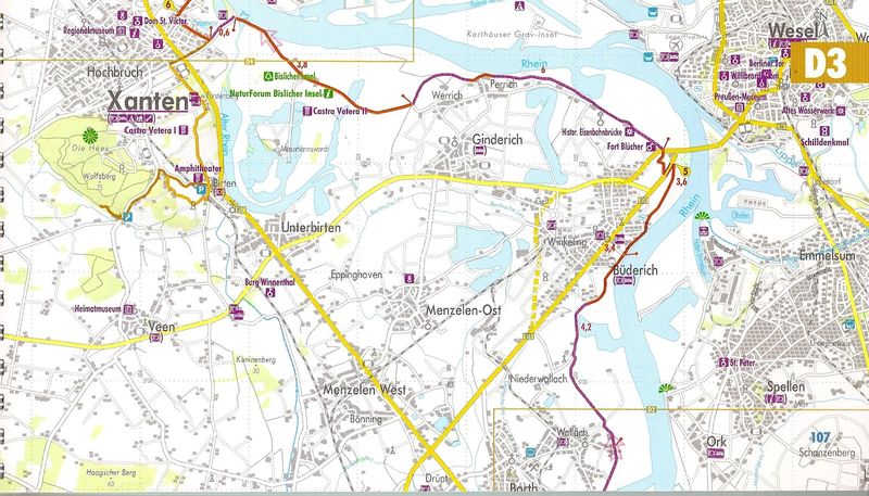
These guides are not currently available in English but the main attraction of them for me are the 1:75,000 maps with the route marked which are very clear. The disadvantage of this approach is that the books, being waterproofed, are damned heavy which is less than ideal. So, the plan is to scan the maps and put 3 maps onto an A4 sheet and then print them out so I'll have a series of sections and I can then just throw away the maps as I go.
Here is the cover of one of the guides:
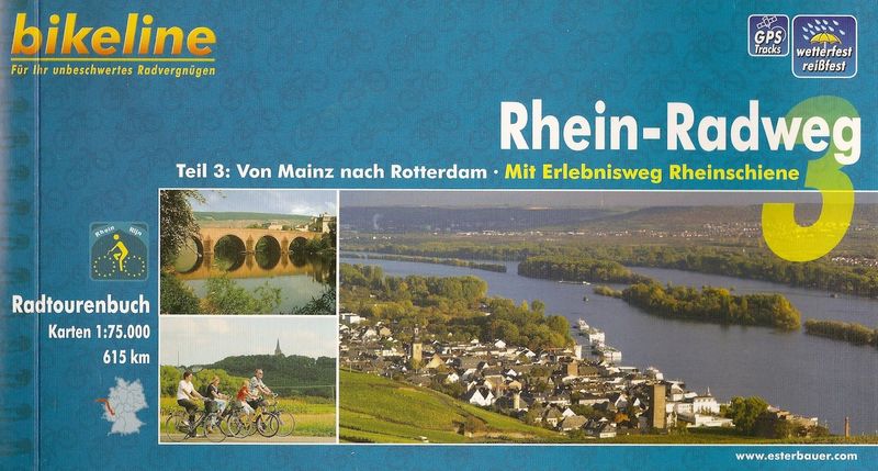
The other thing about these guides is that they give you access to GPS tracks of the route which may come in handy and are certainly going to be worth looking at, you can see the little GPS logo in the top right hand corner of the cover next to the waterproof logo. Inside the book is a code which you enter into the esterbauer website and this allows you to download the files as a .zip archive, could be very useful.
Here is a sample of what the mapping is like in the books, I think they are excellent:
I reckon planning these trips is as much fun as actually riding them!
comments powered by Disqus